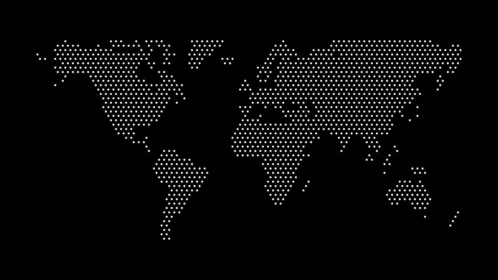
US Map Vector: Free Download and Custom Options

A US map vector is one of the most versatile resources for designers, educators, and data storytellers. Whether you’re building a presentation, creating a poster, or designing an interactive web app, vector maps provide scalable, editable, and lightweight graphics that can be customized to your needs.
In this guide, you’ll learn where to get a free US map vector, the benefits of using SVGs, and how to customize your own instantly with tools like World in Dots.
What is a US Map Vector?
A US map vector is a digital map of the United States created using vector paths rather than pixels. Unlike raster images (like PNG or JPG), vectors scale without losing clarity, making them perfect for both print and digital use.
Key Benefits:
- Scalable — Zoom in on state boundaries or scale up to poster size.
- Customizable — Edit colors, add dots, or highlight specific states.
- Lightweight — Small file sizes are ideal for websites and apps.
- Professional Quality — Crisp lines ensure clarity in any format.
Free US Map Vector Downloads
There are many sources to get a free US map vector, including:
- World in Dots (best for dotted, customizable vectors)
- Wikimedia Commons (basic outlines)
- OpenStreetMap (data-rich files)
- Free vector libraries like Freepik and Vecteezy
But the difference between downloading and generating your own is the ability to customize instantly — no extra editing required.
Customizing a US Map Vector with World in Dots
With World in Dots, you can create a unique dotted US map vector in just a few steps:
Step 1: Select the Region
Choose United States from the region selector.
Step 2: Adjust Dot Style
Pick your preferred dot density, spacing, and size.
Step 3: Customize Colors
Match your brand palette or project theme easily.
Step 4: Export as SVG
Download a scalable vector file ready for use in Figma, Illustrator, or on the web.
Example: Dotted US Map Vector

This dotted US map vector is lightweight, scalable, and perfect for:
- Data-driven dashboards
- Infographics and reports
- Marketing presentations
- Educational handouts
- Wall posters and decor
Practical Uses for a US Map Vector
- Education: Teaching state geography, history, or demographics.
- Design: Adding a modern, minimalist US outline to print or digital projects.
- Data Visualization: Color-code states to represent populations, sales, or climate zones.
- Branding: Highlight your company’s US presence or coverage.
Final Thoughts
A US map vector is a must-have resource for anyone working with geographic visuals. Whether you’re an educator, designer, or data analyst, using SVG maps ensures clarity, flexibility, and scalability.
With platforms like World in Dots, you don’t just download a generic file — you create a custom US map vector tailored to your project in seconds.
Try it today and transform the way you visualize the United States.