World Map Coloring Pages for Kids
World map coloring pages are a simple way to mix creativity with learning. As kids color in continents and countries, they're quietly absorbing geography — where places are, how big they are, and how they fit together.
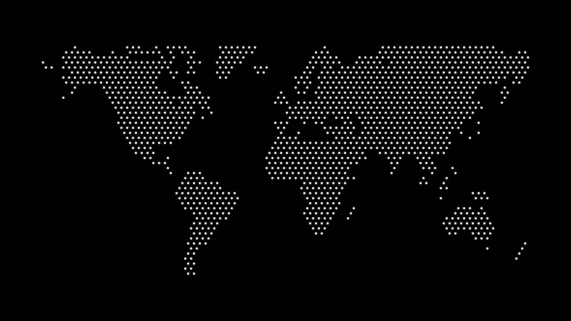
This guide shows how to create world map coloring pages for kids that are both fun and educational using World in Dots.
Why Coloring Maps Works for Kids
Coloring a map is more than busywork:
- Memory through repetition — coloring a country helps it stick
- Fine motor practice — staying inside borders builds coordination
- Calm, focused activity — great for quiet time at home or school
- A finished keepsake — kids are proud of a map they completed
A clean outline or large-dot style gives little hands clear areas to fill in.
Ideas for Coloring Activities
- Color by continent — a different color for each landmass
- Favorite places — color the countries a child wants to visit
- Flag colors — match each country to its flag's colors
- Climate zones — blue for cold, green for temperate, yellow for desert
How to Create a Coloring Map
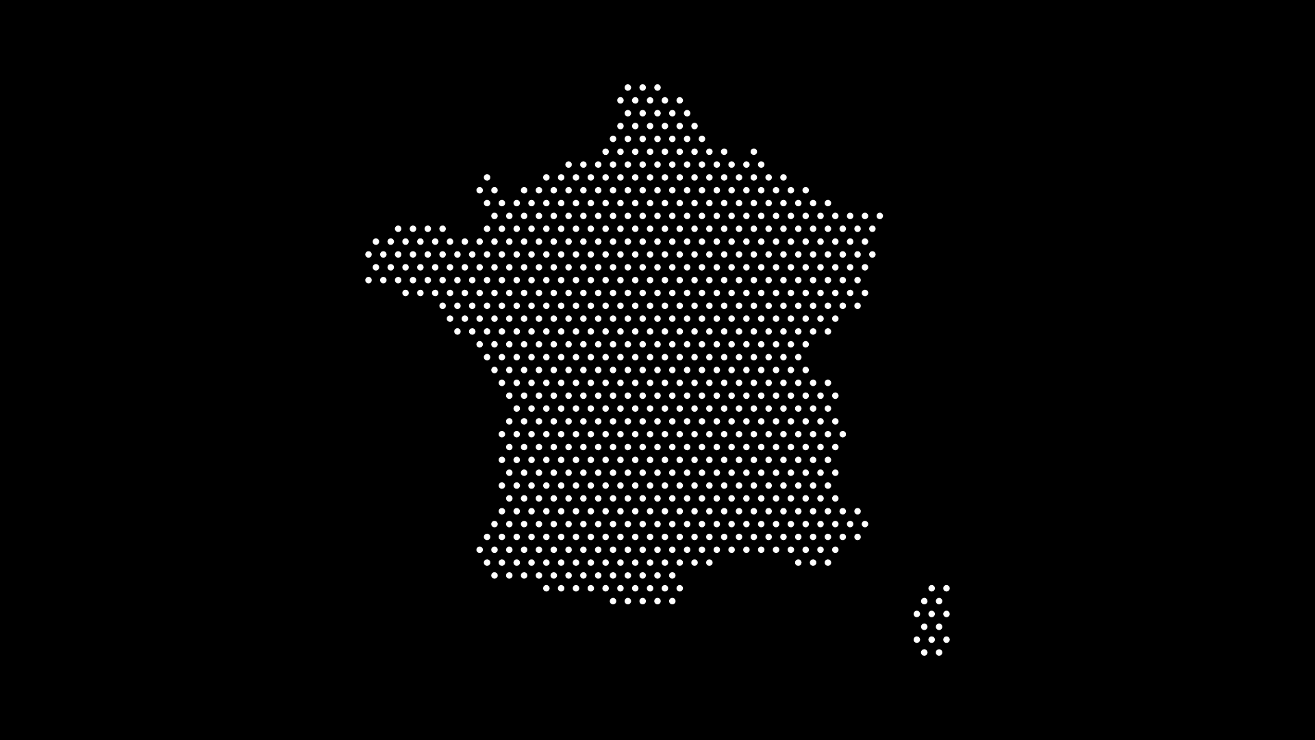
Step 1: Choose the World or a Continent
Start simple for younger kids — a single continent has fewer, bigger areas to color.
Step 2: Use a Print-Friendly Style
- Keep dots or outlines bold and well-spaced
- Use plain white space so crayons and markers show clearly
- Leave it unlabeled, or add country names for older kids
Step 3: Export and Print
Download as PNG or SVG, print on standard paper, and hand over the crayons.
Tips for Parents and Teachers
- Print several copies so kids can try different color schemes
- Pair the coloring page with a globe or atlas for reference
- For group settings, turn it into a "color the country we learned today" routine
Final Thoughts
World map coloring pages for kids turn screen-free time into geography practice. With World in Dots, you can generate custom, printable coloring maps in seconds and tailor them to any age.
Create a coloring map today and let learning happen one color at a time.