World Map Vector vs. Raster: Which One Should You Use?
When working with maps, one of the biggest choices you’ll make is vector vs. raster. Both formats are widely used, but each comes with strengths and weaknesses. For designers, educators, and developers, knowing the difference helps you pick the right world map format for your project.
In this guide, we’ll compare world map vectors (SVG, AI, EPS) and raster maps (PNG, JPG), and show you when to use each — plus how to generate a customizable vector map instantly with World in Dots.
What is a World Map Vector?
A world map vector is created from mathematical paths (lines, shapes, dots). Common formats include SVG, AI, and EPS.
- Scalable: Resize infinitely with no pixelation.
- Editable: Change colors, shapes, density, or styles in design tools.
- Lightweight: Small file sizes, especially in SVG.
- Interactive: Ideal for clickable or animated maps on the web.
Vectors are the gold standard for design and interactivity.
What is a Raster World Map?
A raster map (PNG, JPG, TIFF) is made of pixels. Each pixel contains color information, creating a detailed image.
- Fixed resolution: Quality drops when scaled up.
- Less editable: Harder to modify individual shapes or borders.
- Widespread use: Supported by all devices and tools.
- High detail: Good for satellite imagery or photo-style visuals.
Raster is often used where photographic detail matters.
When to Use a World Map Vector
- Design & Branding: Posters, presentations, infographics.
- Web & Apps: Interactive, responsive SVG maps.
- Data Visualization: Overlay population, climate, or mobility data.
- Education: Clean, editable outlines for classrooms.
When to Use a Raster Map
- Satellite Imagery: Climate data, environmental overlays.
- Detailed Backdrops: When textures and realism matter.
- Quick Sharing: PNGs/JPGs for social posts and non-editable use cases.
- Legacy Print: Some workflows still rely on high-res TIFF/JPG.
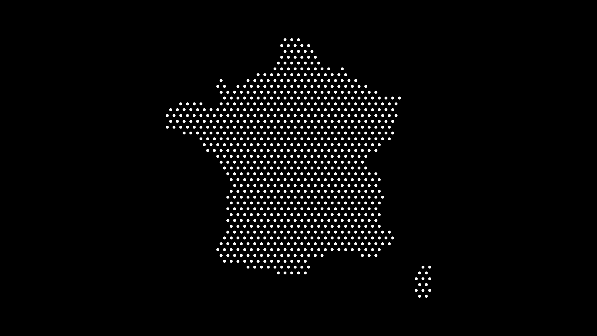
Example: Vector vs Raster in Action
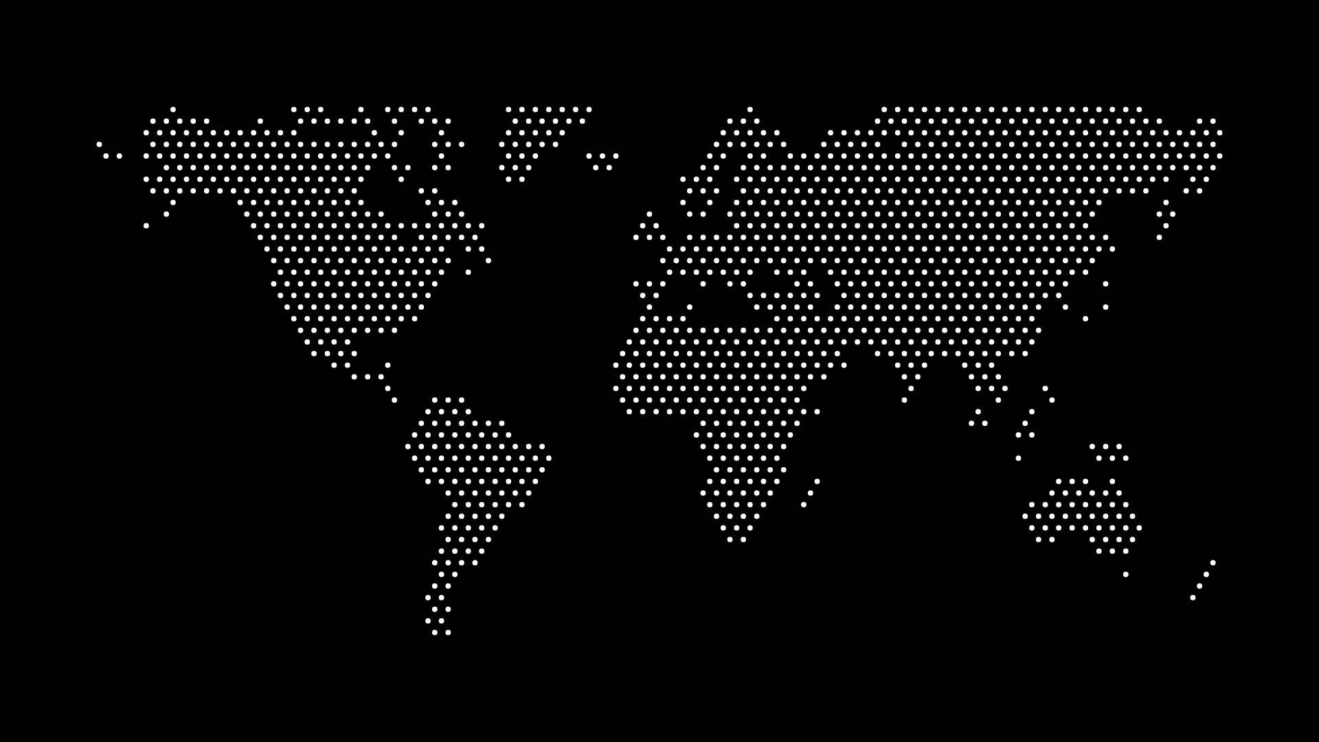
- Vector Map: Crisp, dotted outlines ideal for infographics and posters.
- Raster Map: Detailed, photo-style visuals suited for climate overlays.
How to Generate a World Map Vector Instantly
Instead of downloading static files, you can create a custom dotted world map vector with World in Dots:
- Select Region — World, continent, or country.
- Pick Dot Style — Minimalist, grid, or dense.
- Customize Colors — Match your brand or theme.
- Export as SVG — Ready for Illustrator, Figma, or the web.
Final Thoughts
So, world map vector vs. raster — which should you use?
- Choose vector if you need scalability, interactivity, and flexibility.
- Choose raster if you need photographic detail or quick static use.
For most design, education, and data projects, vectors are the clear winner. And with World in Dots, you can generate your own world map vector in minutes — customized, scalable, and ready to use.
Skip the pixels — go vector, and design with clarity.